

Original Plat Maps
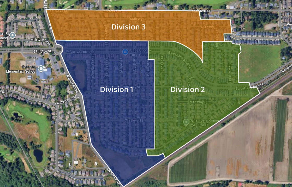
These are the original detailed maps of the HOA that are filed with the Thurston County Auditor. Each is a set of maps with multiple pages of varying detail and scale. (The maps are shown sideways but that is how they are on the TCA website, from which they were downloaded.)
Original Concept Map
This is the concept map for the entire Horizon Pointe complex as envisioned by the original developer, Triway Enterprises. Only Phases I-V were built before the developer went bankrupt. The lower arm of Phase VII north of the park was built only a few years ago; the upper arm area is still undeveloped. The section of Phase VI by Ruddell Road is now Chambers Prairie Elementary and the section across Balustrade has been turned into commercial development. See “About Us -> History” for more on the crazy history!
Common Areas
This map shows all of the Common Areas that belong to and are maintained by the Association. (Note that sidewalks belong to the City of Lacey.)